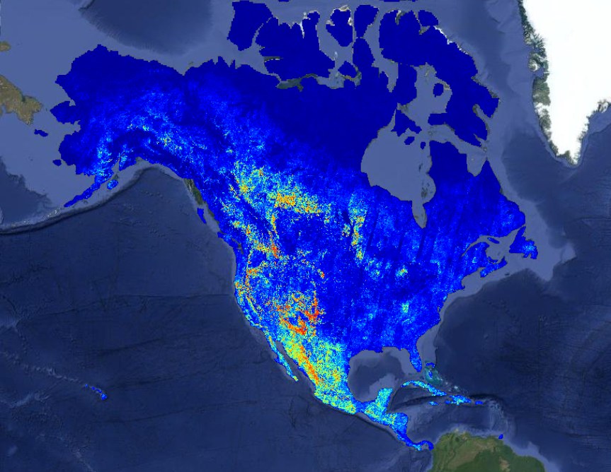
For decades, Earth observation remained a playground for corporations with bloated budgets and armies of niche engineers. The OlmoEarth project by the Allen Institute for AI (Ai2) is attempting to break this market stalemate by shifting from artisanal, custom-built models to industrial-scale execution. According to Kyle Wiggers, the organization has released a family of foundational models trained on 10 terabytes of multimodal satellite data. But let's be honest: open-source model weights are merely a nice bonus. The real barrier for business isn't the algorithms; it's the infrastructure capable of digesting tens of terabytes of imagery across entire continents without turning the budget into a black hole.
Solving the Data Acquisition Bottleneck
The engineering reality is simple: preparing data for planetary monitoring eats up more time than the actual prediction. As the Ai2 report indicates, typical forecasting tasks waste hours downloading and normalizing images while expensive GPU clusters sit idle. OlmoEarth solves the geo-analytics "plumbing" problem: the platform manages workloads so that hardware never waits for pixels. Data is pulled and optimized for high-speed loading on the fly before being sent for a forward pass. This allows the system to scale across hundreds of workers, transforming a monolithic supercomputing task into a distributed stream that doesn't collapse if a single node fails.
"Today, the platform can perform continent-scale inference in about 24 hours, processing tens of terabytes of imagery at a cost of hundredths of a cent per square kilometer."
From Raw Pixels to Actionable Metrics
For businesses, OlmoEarth’s value lies in eliminating the "last mile" problem. It isn't enough to run a neural network on an image; you must stitch disjointed output windows into geographically consistent maps suitable for decision-making. Developers estimate the platform automates the entire cycle: from fine-tuning for specific needs—such as deforestation monitoring or wildfire risk assessment—to large-scale inference. This spares agricultural holdings and logistics companies from hiring a full staff of computer vision specialists just to label land assets.
Strategic independence here isn't just a buzzword; it's a matter of survival. As Kyle Wiggers noted, most environmental and sustainability organizations simply lack the resources to manage proprietary geospatial platforms. By offering an open alternative, Ai2 is establishing a benchmark for global monitoring: transparent, verifiable, and, crucially, inexpensive. The competitive advantage is shifting from those who own exclusive data to those who can most efficiently package it into management metrics. Technical barriers to total asset tracking are crumbling—the only question is whether your business is ready to integrate this data into daily operations or will continue to rely on guesswork.